[
Date Prev][
Date Next][
Thread Prev][
Thread Next][
Date Index][
Thread Index]
[
List Home]
|
Re: [sumo-user] start macrosimulation
|
Good morning Jakob!
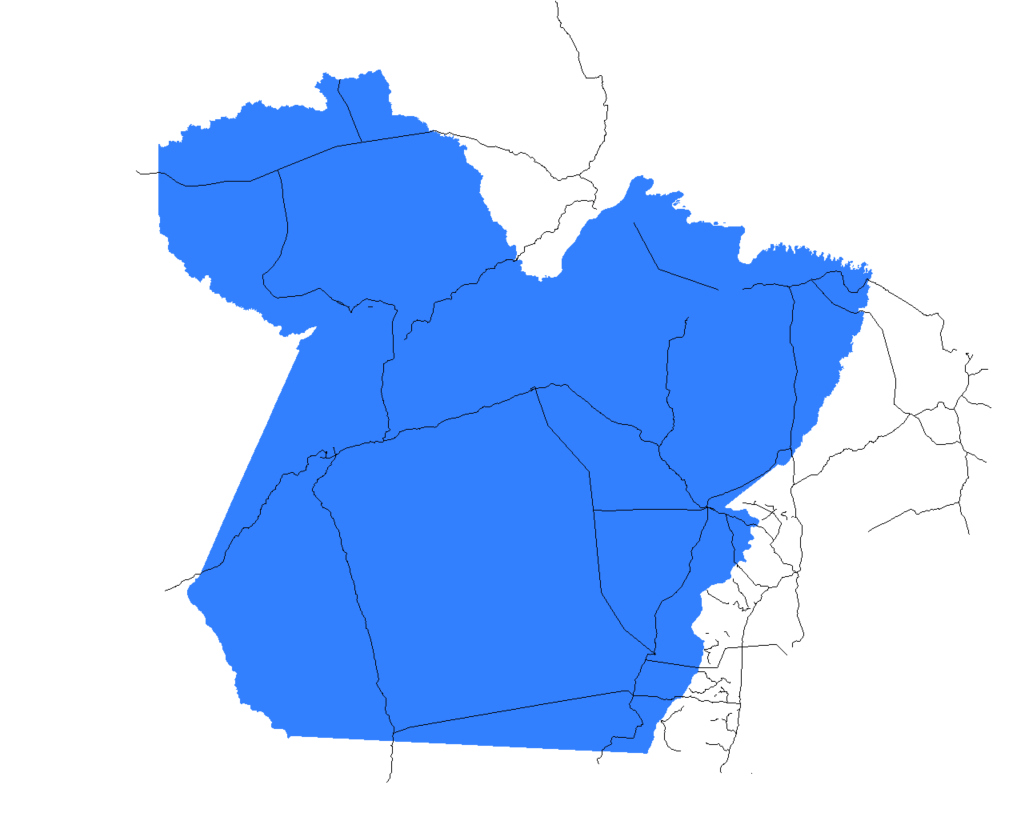
The shape of the municipalities is displayed correctly in netedit.
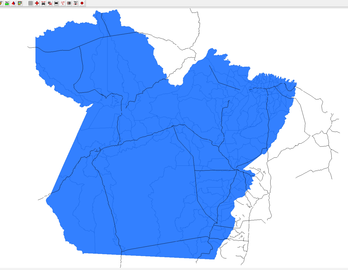
In sumo-gui, only one polygon appears.
Attached are the minimum files in which I tried to generate the edgesIndistricts command.
Sds,
Pedro Oliveira
You can set netconvert option --shapefile.all-bidirectional to ensure bidirectional roads
Can you confirm that the shapes of municipalities are shown correctly in sumo-gui?
Can you show a small snippet of the imported polygon file?
Good afternoon,
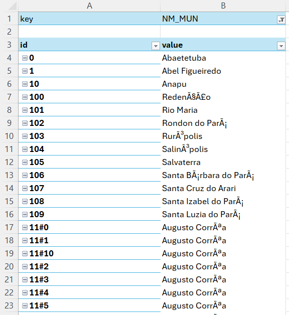
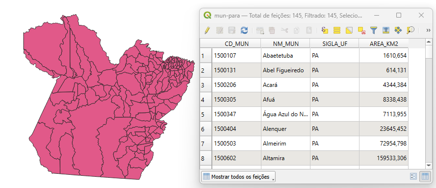
I was able to obtain the names of the municipalities by enabling the all-attributes option.
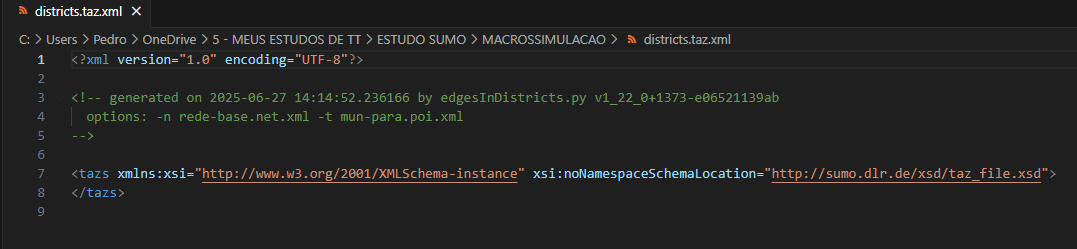
I can't run the edgeindistrict.py command, the result is like this.
Sds,
Pedro Oliveira
Good afternoon,
I would like to know if in Sumo it is possible to obtain, when importing a shape to the TAZ file, the name of the location that is associated with the adopted ID.
An example would be this.
The shape converted to polygon comes from qgis.
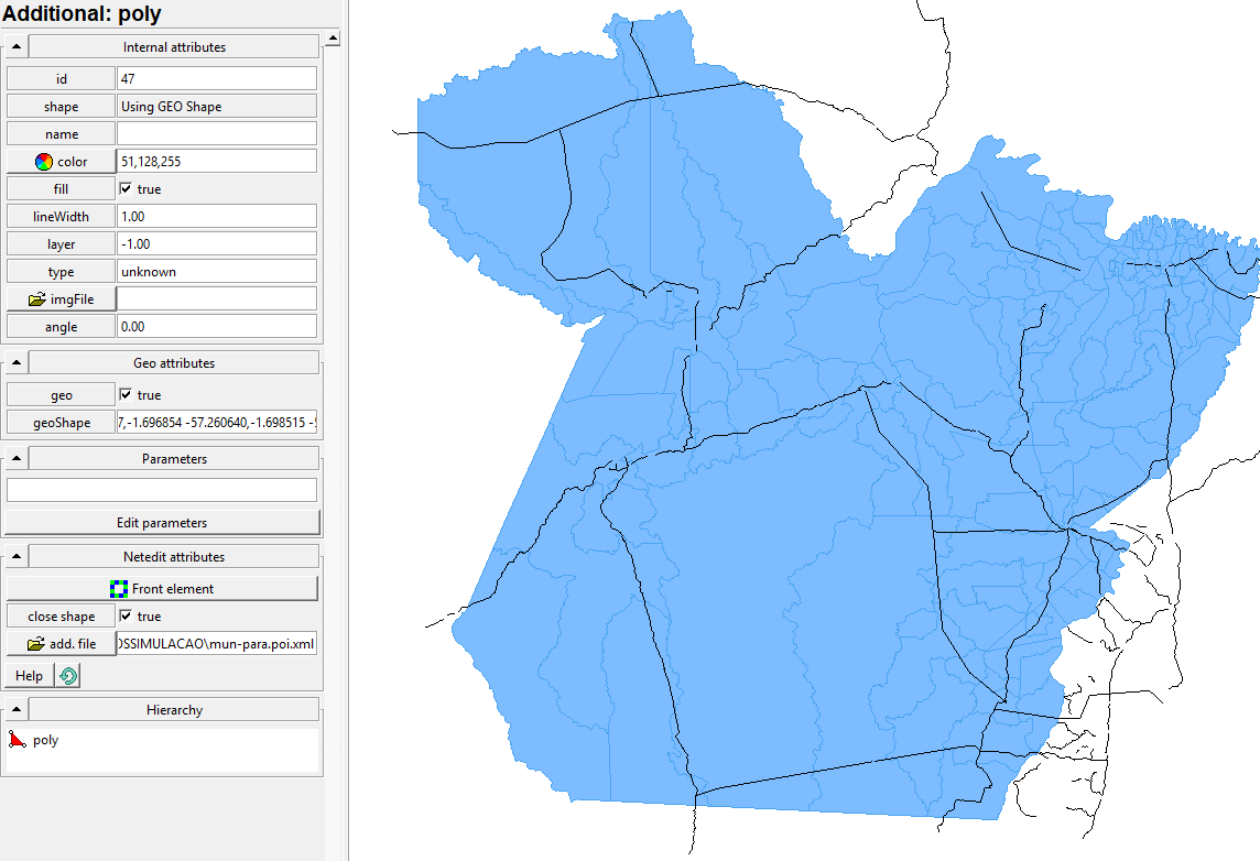
In net edit it looked like this
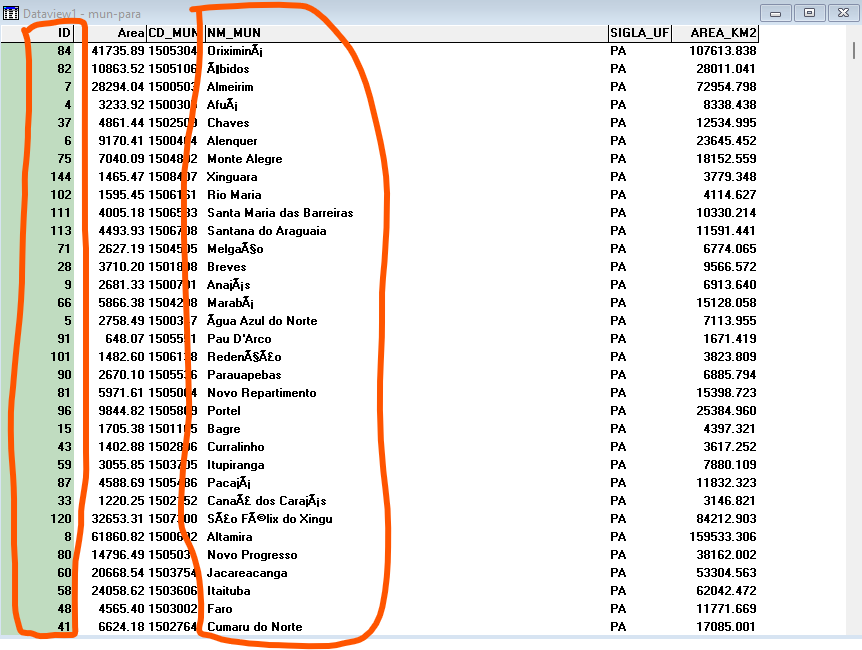
Since my OD matrix contains the names of the municipalities, I need to check which ID SUMO adopted for each city in the TAZ file.
Thank you in advance.
Sds,
Pedro Oliveira
Good morning!
I started a project with SUMO for a macrosimulation.
Using netconvert and network merging, I imported the road system that was in shapefile format. At this point, I would like to know if there is a command that can generate the opposite direction of all edges and also correct the junctions after the procedure.
All my roads were inserted in one direction only.
After inserting the roads, I inserted the polygons of the municipalities using Additional and Shape. The polygons were generated by the polyconvert command from a shape. I do not know if this is the correct procedure.
I would like to know how to make each generated polygon have the ID but also carry with it the name of the polygon, that is, the name of the municipality so that I can associate the OD matrix.
So far, I have run the edgeindistricts.py command but it returned empty.
Sds,
Pedro Oliveira
The required <poly> elements can be obtained with polyconvert from any of the supported data sources (i.e. geojson, shapefile)
Good evening, I am starting a microsimulation project involving a network of three Brazilian states.
I can obtain the polygons of the municipalities, but I would like to know if there is a specific format in which I need to import the polygons so that they can be understood as TAZ in Net Edit.
I thought about obtaining the roads through Open Street Maps, but I don't know if it would have the area coverage (I will test this).
When obtaining the TAZ polygons and the roads, is there any way to link the two automatically and then check the ID of the nodes that were linked in TAZ? My initial questions are these. Thank you in advance.
Sds,
Pedro Oliveira
sumo-user mailing list
sumo-user@xxxxxxxxxxx
To unsubscribe from this list, visit https://www.eclipse.org/mailman/listinfo/sumo-user
sumo-user mailing list
sumo-user@xxxxxxxxxxx
To unsubscribe from this list, visit https://www.eclipse.org/mailman/listinfo/sumo-user
Attachment:
Teste.rar
Description: application/compressed