[
Date Prev][
Date Next][
Thread Prev][
Thread Next][
Date Index][
Thread Index]
[
List Home]
|
Re: [sumo-user] Export SUMO net as shapefile (or KML)
|
here is my python code, it is not written in an objected oriented manner or as professional as your tools, but it should do the job. If you could help me a bit, I try to push it into geomhelper functions.
Thanks again for the support.
Best,
Sasan
set option --internal (which translates to sumolib.net.readNet(file, withInternal=True)
Thanks for the tip. It was actually easy to generate the polygons. I will share my code as soon as I am finished to fully generate all elements of the network.
One last question: somehow I cannot read the shape of the connections (internal Links) of the network using sumolib. Am I missing something? Below you can ee that junctions and internal links are missing.
No. Though it shouldn't be too hard to build this with the help of sumolib/geomhelper function move2side
Feel free to do add a new option for this.
Alternatively, you could export the lane width and use this to style the lines in QGIS.
_______________________________________________
sumo-user mailing list
sumo-user@xxxxxxxxxxx
To unsubscribe from this list, visit https://www.eclipse.org/mailman/listinfo/sumo-user
sumo-user mailing list
sumo-user@xxxxxxxxxxx
To unsubscribe from this list, visit https://www.eclipse.org/mailman/listinfo/sumo-user
sumo-user mailing list
sumo-user@xxxxxxxxxxx
To unsubscribe from this list, visit https://www.eclipse.org/mailman/listinfo/sumo-user
# -*- coding: utf-8 -*-
"""
Created on Wed Oct 5 21:49:14 2022
@author: Sasan Amini
"""
def net2polygon(sumoNetPath:str='./sumoNet.net.xml',shapefile:str=True,geojson:str=True):
import geopandas as gpd
from shapely.geometry import Polygon
from sumolib import geomhelper
import sumolib
import matplotlib.pyplot as plt
# read sumo network
sumoNet = sumolib.net.readNet(sumoNetPath,withInternal=True)
# read the required features from lanes e.g. lane width, allowed vehicles or speed limit etc.
laneId = []
laneShape = []
laneWidth = []
laneAllow = []
laneSpeed = []
for edge in sumoNet.getEdges():
for lane in edge.getLanes():
if lane.getLength()>1 or lane.getLength()==-1: #exclude very short lanes/edges but include internal links with length of -1
laneId.append(lane.getID())
laneShape.append(lane.getShape())
laneWidth.append(lane.getWidth())
laneAllow.append(list(lane.getPermissions()))
laneSpeed.append(edge.getSpeed())
#
polyLaneShape = {}
for i in range(len(laneId)):
geom_list = []
tmp_coord1 = []
tmp_coord2 = []
tmp_geom1 = geomhelper.move2side(laneShape[i],laneWidth[i]/2)
tmp_geom2 = geomhelper.move2side(laneShape[i],-laneWidth[i]/2)
for k in tmp_geom1:
tmp_coord1.append(sumoNet.convertXY2LonLat(k[0],k[1]))
for k in tmp_geom2:
tmp_coord2.append(sumoNet.convertXY2LonLat(k[0],k[1]))
geom_list.append(tmp_coord1)
geom_list.append(tmp_coord2[::-1])
polyLaneShape[laneId[i]] = Polygon([item for sublist in geom_list for item in sublist])
# read junctions
polyNodeShape = {}
nodeId = []
nodeType = []
for node in sumoNet.getNodes():
nodeId.append(node.getID())
nodeType.append(node.getType())
for i in range(len(nodeId)):
if len(sumoNet.getNode(nodeId[i]).getShape())>2:
tmp_coord1 = []
geom_list = []
tmp_geom1 = sumoNet.getNode(nodeId[i]).getShape()
for k in tmp_geom1:
tmp_coord1.append(sumoNet.convertXY2LonLat(k[0],k[1]))
geom_list.append(tmp_coord1)
polyNodeShape[laneId[i]] = Polygon([item for sublist in geom_list for item in sublist])
# convert to geopadas DataFrame
df_node = gpd.GeoDataFrame({'nodeId':nodeId,'nodeType':nodeType,'geometry':polyNodeShape.values()},crs="EPSG:4326")
df_lane = gpd.GeoDataFrame({'laneId':laneId,'laneWidth':laneWidth,'maxSpeed':laneSpeed,'geometry':polyLaneShape.values()},crs="EPSG:4326")
# save the output to file
if shapefile:
df_node.to_file('./sumoNetNodes')
df_lane.to_file('./sumoNetLanes')
if geojson:
df_node_json = df_node.to_json()
df_lane_json = df_lane.to_json()
with open('sumoNetNodes.geojson', 'w') as outfile:
outfile.write(df_node_json)
with open('sumoNetLanes.geojson', 'w') as outfile:
outfile.write(df_lane_json)
else:
print('no output was asked! please set one of the outputs to True')
return False
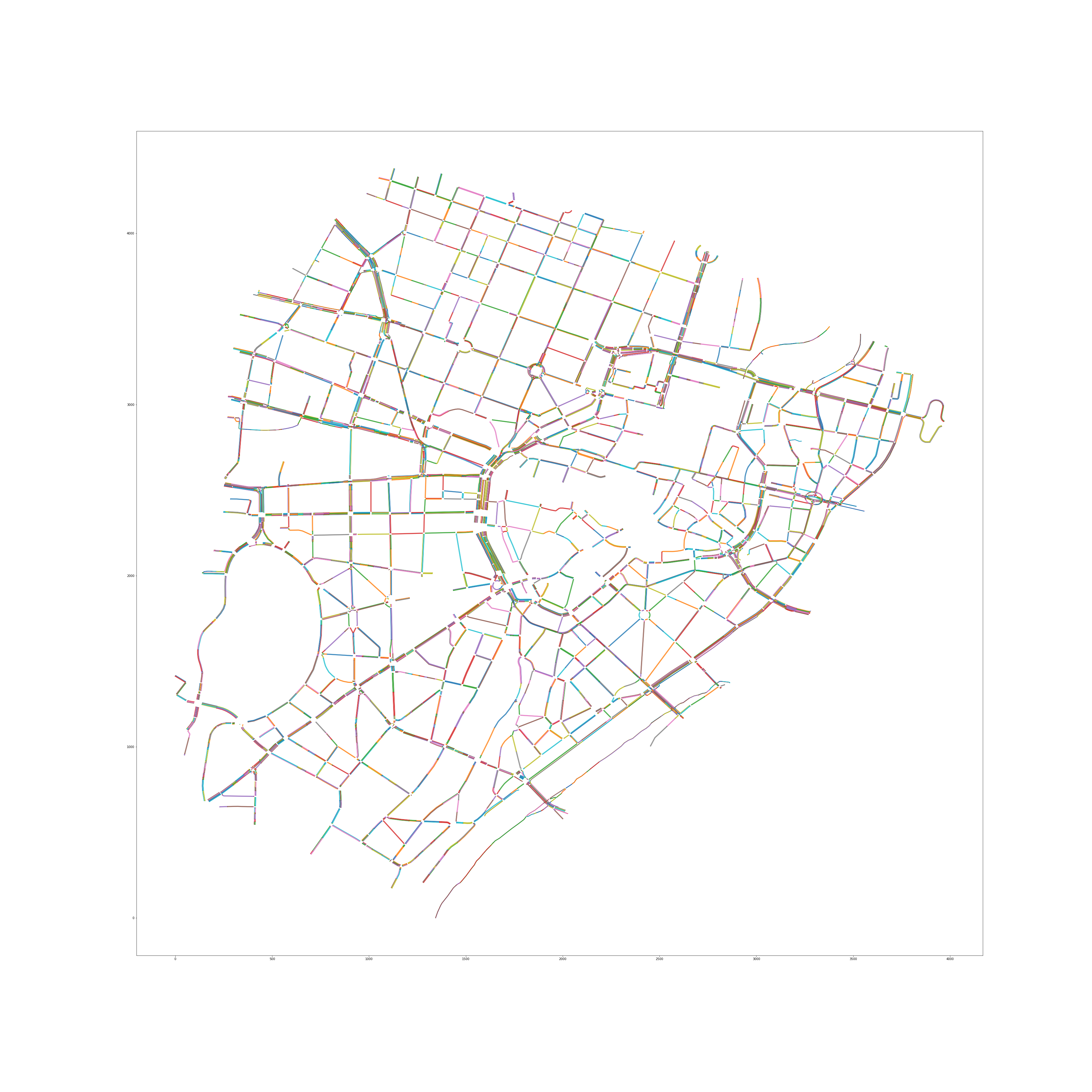
# optional
fig = plt.figure(figsize=(50,50))
for p in polyLaneShape.keys():
x,y = Polygon(polyLaneShape[p]).exterior.xy
plt.plot(x,y);
plt.savefig('./sumoNetPolyLane.png');
return True