Editor's Note
There is an assumption that up to 80% of all objects and activities are linked to a specific and unique location, permanently or at any given time. This implies that a majority of all - big and small - data has a spatial or spatial-temporal component. Something that is of great value for asset management, remote sensing, IoT, and autonomous cars, just to name a few. No wonder that geospatial technology has become the must-have in many commercial and industrial applications.
LocationTech, an Eclipse Foundation Working Group for spatially aware technology, is the home for Big (and smaller) Geospatial Data processing and visualization components and development tools. Within LocationTech, a variety of stakeholders collaborate on projects that deal with the various challenges presented by the 'Big Data V's'.
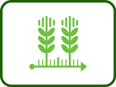
This issue of the Eclipse Newsletter is dedicated to some of the latest Big Geospatial Data development projects available. We kick off with an article about the open source geospatial toolkit, JTS 1.15. We then explore LocationTech GeoTrellis before moving on to two case studies: 1) exactEarth and GeoMesa being used for Hurricane Harvey and 2) Spacial Data and Precision Agriculture. Finally, we learn what's new in GeoGig 1.2 and what FOSS4G NA is.
You are welcome to join the conversation, participate, and benefit regardless of background - industry, government, science, or academia, etc.
We'd like to thank the Eclipse LocationTech community for contributing these articles. It was a great pleasure to work with each author and the community as a whole.
Next year, on May 14-17, LocationTech will co-host FOSS4G NA, the annual North American open spatial conference in St. Louis, Missouri. The Call for Papers is now open!
Sit back, relax, and read.
Roxanne Joncas (Editor)
Thea Aldrich & Marc Vloemans (LocationTech Guest Editors)
|